 geocatalogue.geoportail.lu
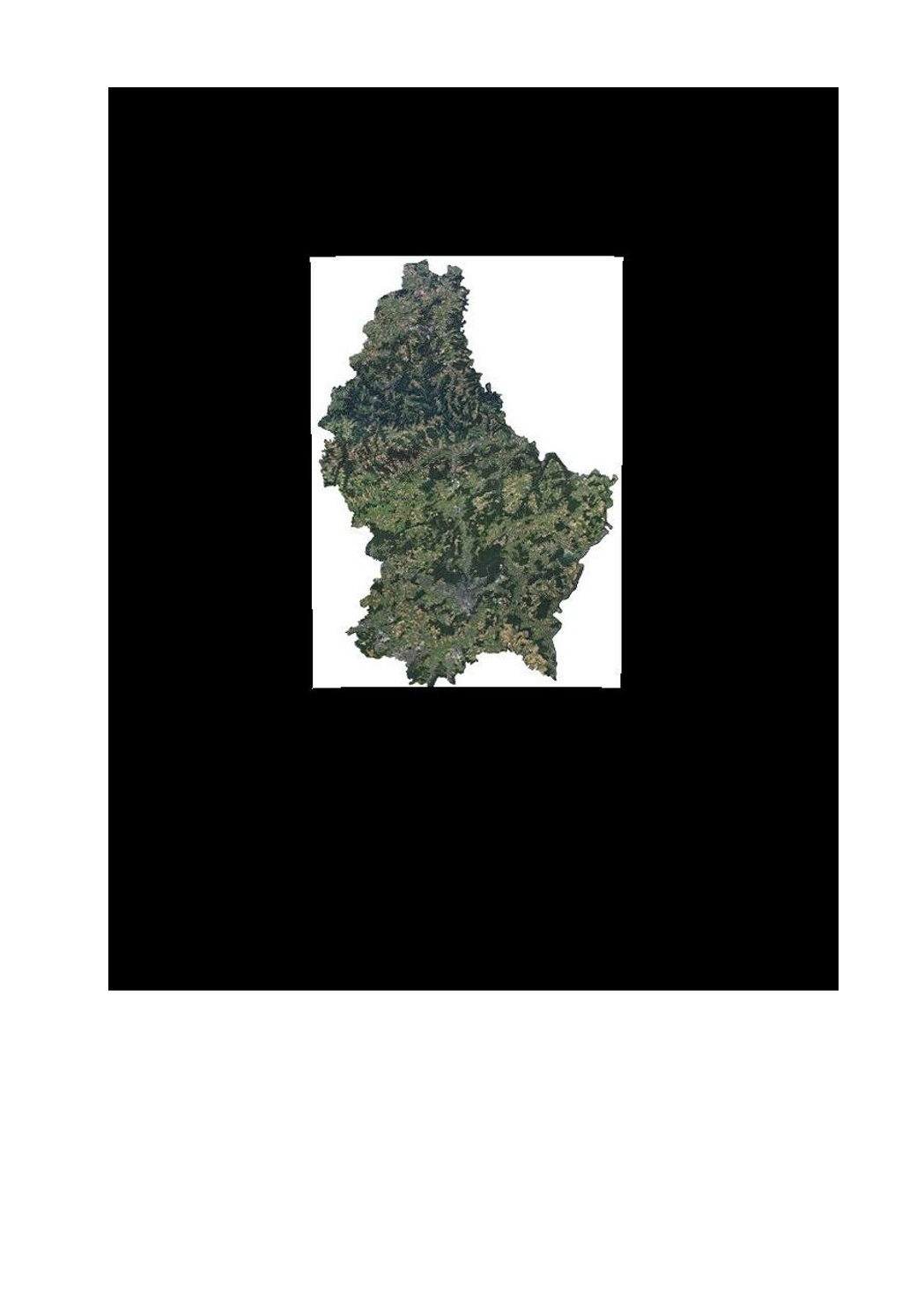
Water>Geographical location>Aerial and satellite photographs
Type of resources
Available actions
Topics
Keywords
Contact for the resource
Provided by
Groups
Years
Representation types
Update frequencies
status
Scale
-
-
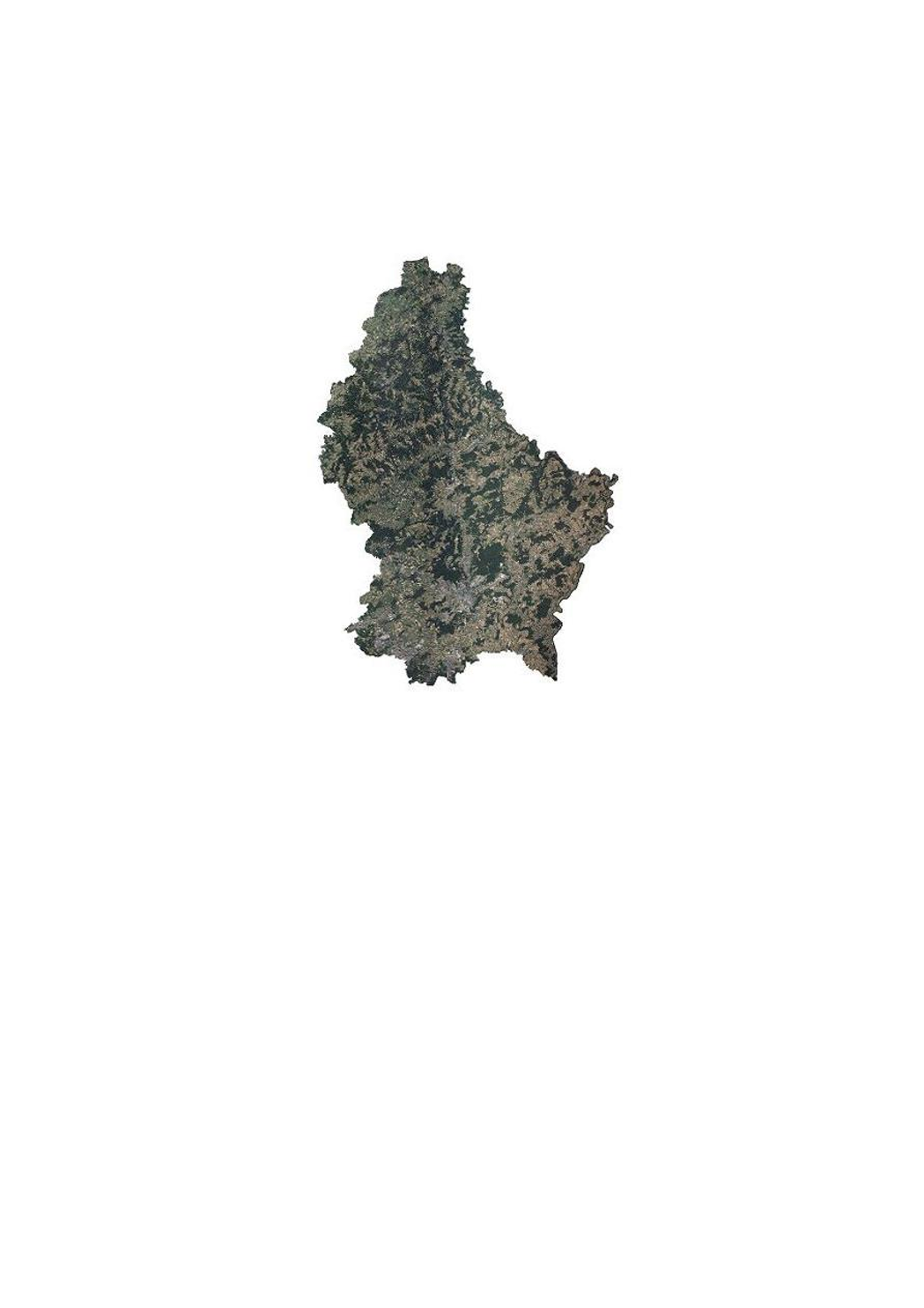
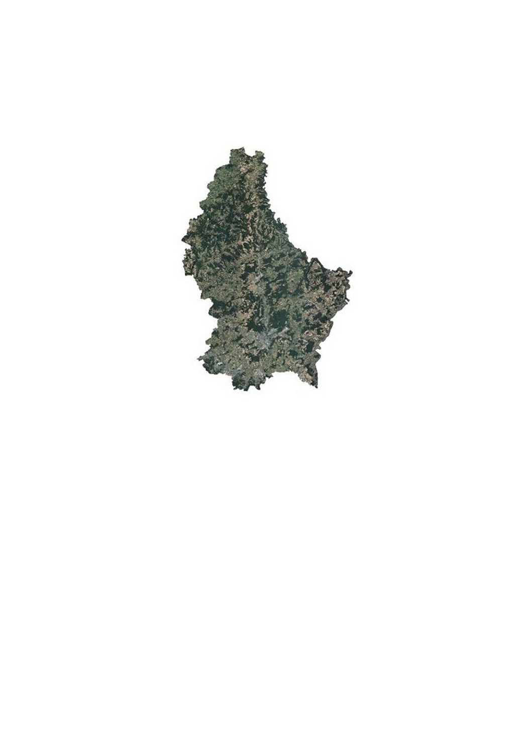
This layer contains the official orthophotos covering the national territory of Luxembourg. The 3 surveying flights took place on 4 and 5 July and 22 August 2019, with a sun position of > 35°. The ground sampling distance is < 0,20 m. The perspective displacement is in general < 25 %, except for Luxembourg-City, where it is < 15 % for a zone of 10 x 9 km (90 km2, centered on the coordinates 78000 east and 74500 north). On the borders, a zone of 50m behind the country border is included.
-
This layer contains the infrared version of the orthophoto 2007.
-
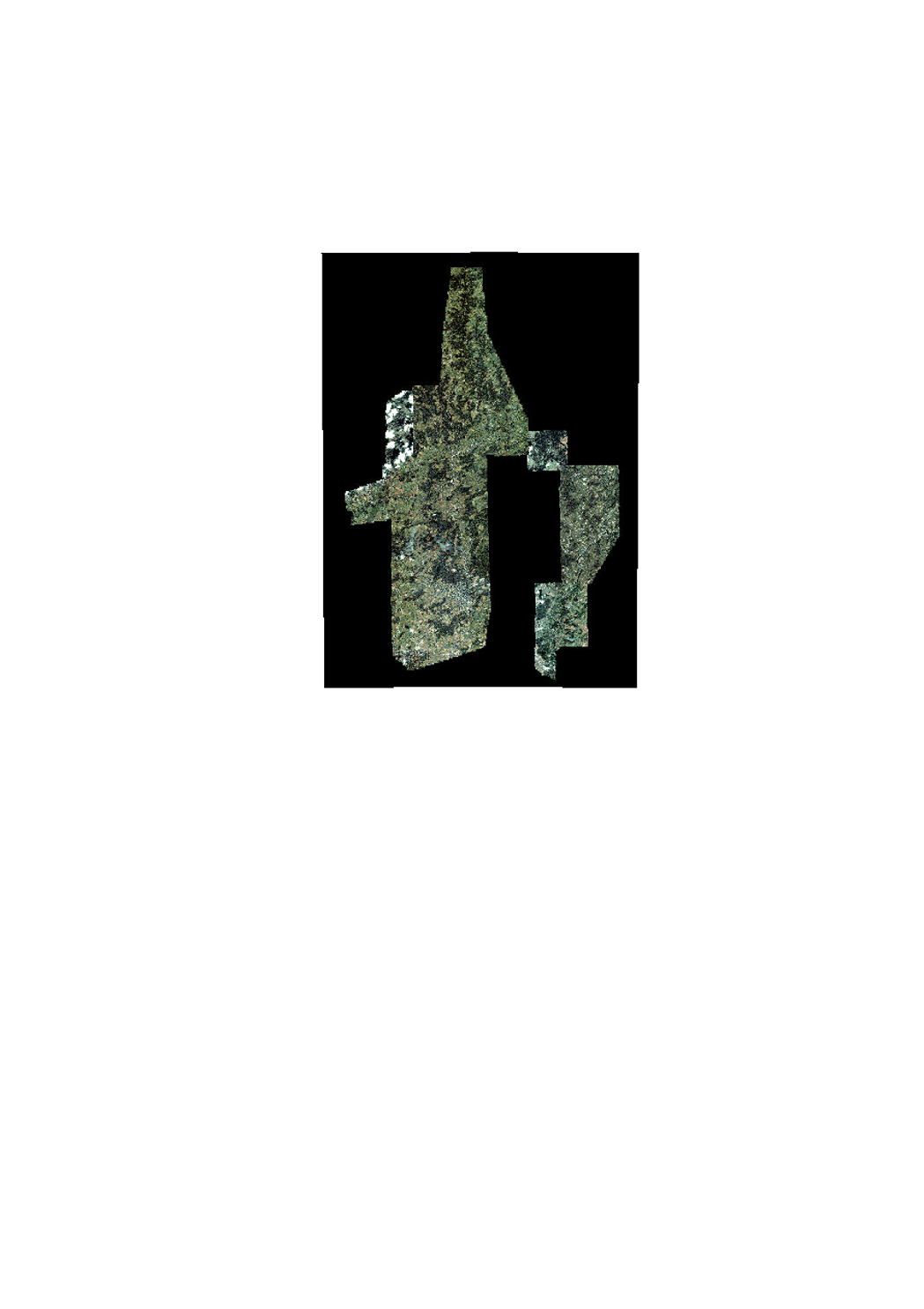
In february 2019, the ACT has executed a LIDAR flight for the whole country. Issued from the same flight, this aerial image (orthophoto) is primary for technical use.
-
This layer contains the orthophoto 2001.
-
This layer contains the orthophoto 2004.
-
This layer contains the official orthophotos covering the national territory of Luxemburg, and that have been produced following a surveying flight in summer 2010 under the responsibility of the administration du cadastre et de la topographie.
-
This layer contains the official orthophotos covering the national territory of Luxembourg. The 4 surveying flights took place on 2, 8 and 27 July and 5 August 2018, with a sun position of > 35°. The ground sampling distance is <0,20m. The perspective displacement is in general <25%, except for Luxembourg-City, where it is <15% for a zone of 10x9km (90km2, centered on the coordinates 78000 east and 74500 north). On the borders, a zone of 50m behind the country border is included.
-

This layer contains the official orthophotos covering the national territory of Luxembourg. The 4 surveying flights took place on 14, 19 and 20 June 2017, close to the solstice, with a sun position of > 35°. The ground sampling distance is <0,20m. The perspective displacement is in general <25%, except for Luxembourg-City, where it is <15% for a zone of 10x9km (90km2, centered on the coordinates 78000 east and 74500 north). On the borders, a zone of 50m behind the country border is included.
-
This layer contains the official orthophotos covering the national territory of Luxemburg, and that have been produced following a surveying flight in summer 2016 under the responsibility of the administration du cadastre et de la topographie.